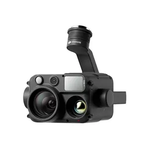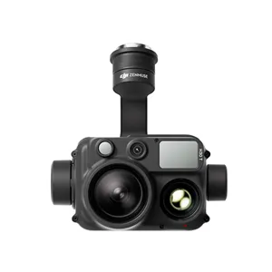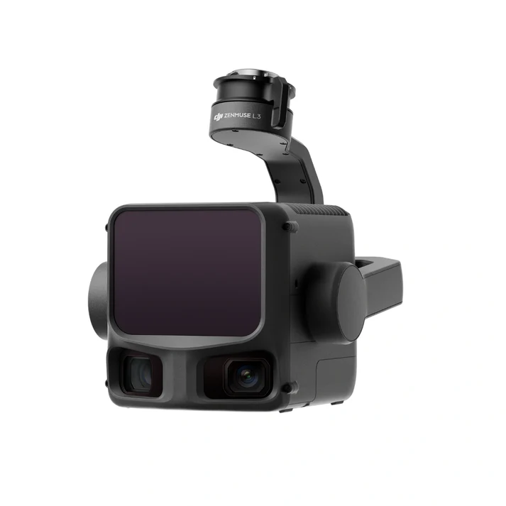
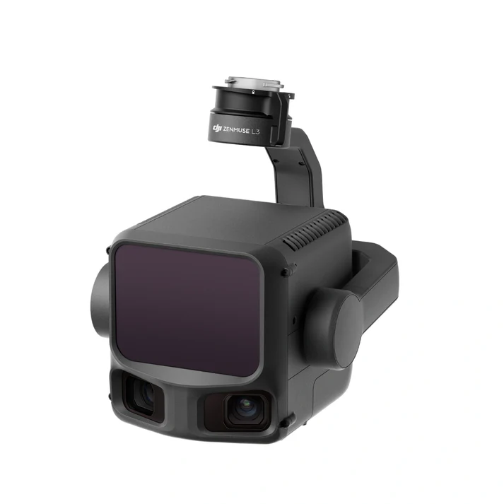
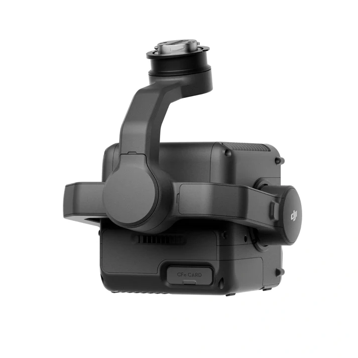
DJI Zenmuse L3: The New Standard in Professional Aerial LiDAR
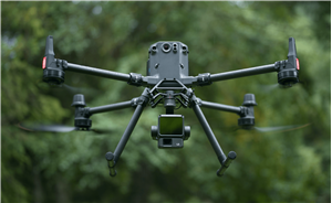
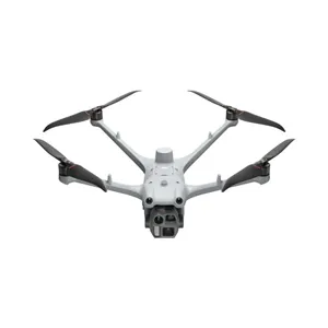
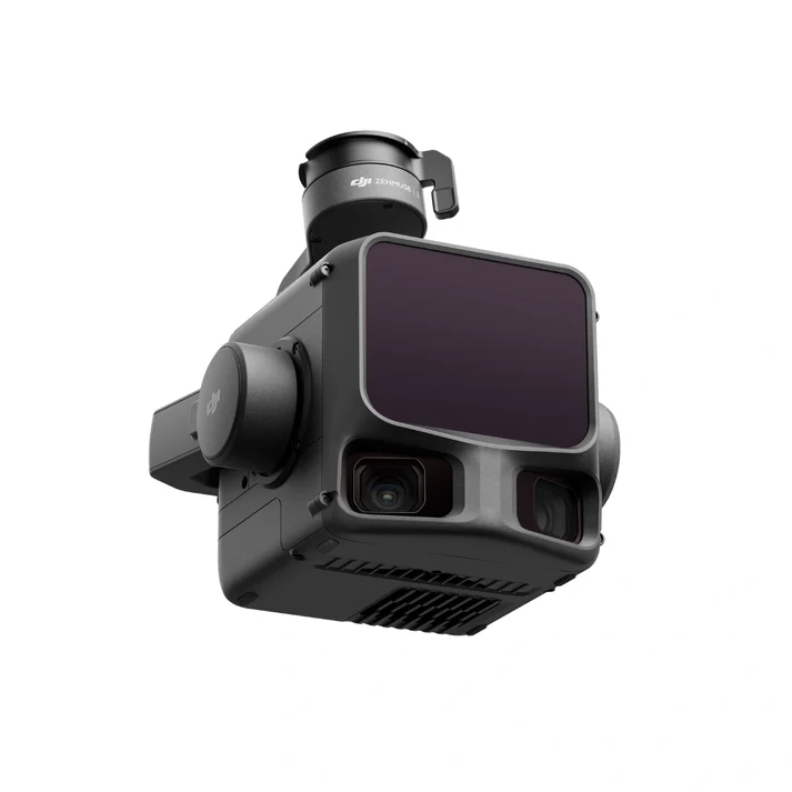
The DJI Zenmuse L3 marks a paradigm shift in the world of aerial surveying and 3D data acquisition. Building upon the legendary reliability of its predecessors, the L3 integrates a long-range LiDAR module, high-accuracy IMU, and a dual-sensor RGB mapping system into a single, stabilized 3-axis gimbal. Specifically optimized for the DJI Matrice 350 RTK and the next-generation Matrice 400, this payload is engineered to provide comprehensive geospatial solutions that combine massive coverage areas with microscopic precision.
1. Advanced 1535nm Long-Range LiDAR Technology
At the core of the Zenmuse L3 is a high-energy 1535nm laser module. Unlike standard 905nm systems, the 1535nm wavelength is inherently safer for the human eye while allowing for significantly higher power output. This enables a staggering detection range of up to 950 meters at 10% reflectivity. For the operator, this translates to higher operational altitudes—allowing for safer flights over mountainous terrain—while maintaining a high point cloud density that previously required multiple low-altitude passes.
The precision of the L3 is unmatched in the enterprise sector. When flying at an altitude of 150 meters, the system achieves a vertical accuracy of 2 cm and a horizontal accuracy of 4 cm. Whether you are conducting a 1:500 scale topographic survey or mapping a deep open-pit mine, the L3 ensures that every coordinate is captured with absolute fidelity.
2. Industry-Leading Canopy Penetration: 16-Return System
One of the most significant hurdles in aerial mapping is dense vegetation. The Zenmuse L3 overcomes this with a sophisticated 16-return pulse capability. By emitting multiple pulses and receiving up to sixteen distinct returns per pulse, the L3 can “see through” the thickest forest canopies to strike the ground surface.
This capability, combined with an ultra-fine laser beam divergence of 0.20 mrad, results in a laser spot size that is roughly 30% smaller than previous models. This smaller footprint allows the beam to slip through tiny gaps in foliage, significantly increasing the number of “ground points” captured. This makes the L3 the definitive tool for generating accurate Digital Elevation Models (DEM) in forestry management and environmental conservation.
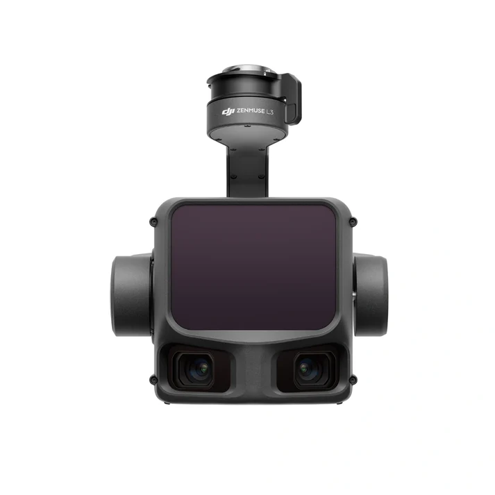
3. Dual 100MP RGB Mapping Cameras
To provide context to the geometric data, the Zenmuse L3 features a dual-camera system consisting of two 50MP Micro 4/3 CMOS sensors, effectively delivering 100MP of RGB data per trigger. These cameras are synchronized with the LiDAR module to the microsecond level.
- True-Color Colorization: Every point in your 3D point cloud is assigned a highly accurate color value, creating photorealistic digital twins that are essential for asset inspection and urban planning.
- High-Resolution Orthomosaics: The dual-camera setup allows the drone to capture high-resolution imagery for photogrammetry simultaneously with LiDAR data, doubling the utility of every flight.
- Mechanical Shutter: To eliminate “rolling shutter” distortion at high speeds, the L3 utilizes a global mechanical shutter with a lifespan of 500,000 cycles, ensuring consistent image quality at speeds up to 15 m/s.
4. Superior POS System & High-Precision IMU
Data is only as good as its orientation. The L3 incorporates an upgraded high-precision Inertial Measurement Unit (IMU) that requires zero warm-up time. This allows for immediate “ready-to-fly” status upon arrival at the job site. The IMU is paired with a Position and Orientation System (POS) that leverages RTK data to provide real-time compensation for the drone’s movement and gimbal vibration. This integration ensures that point cloud “noise” is minimized, resulting in a cleaner, more professional dataset that requires less post-processing.
5. Multi-Scanning Modes for Diverse Missions
The Zenmuse L3 offers three distinct scanning patterns to suit different mission profiles:
- Repetitive Line Scan: Ideal for traditional mapping where uniform point distribution across a flat surface is required.
- Non-Repetitive Flower Scan: Provides a significantly higher FOV coverage in a shorter time, perfect for inspecting vertical structures like telecommunication towers or power line pylons.
- Star-Pattern Scan: Optimized for dense urban environments to minimize data gaps caused by building shadows.
Technical Specifications At-A-Glance
| Component | Specification |
|---|---|
| LiDAR Range | 950m @ 10% reflectivity; 1200m @ 80% |
| Point Rate | Single Return: 1,200,000 pts/s; Multiple Returns: 2,400,000 pts/s |
| Accuracy (Vertical) | 2 cm @ 150m |
| RGB Sensor | Dual 4/3 CMOS; 100MP Combined |
| Returns | Up to 16 Returns |
| IP Rating | IP55 (Dust & Splash Proof) |
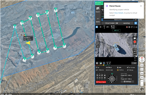
6. Streamlined Software Workflow: DJI Pilot 2 & DJI Terra
Efficiency doesn’t end in the air. The Zenmuse L3 is fully integrated with DJI Pilot 2, allowing pilots to view live point clouds in real-time on their remote controller. This enables immediate quality control on-site—if a gap is spotted, it can be filled immediately without returning for a second mission.
For post-processing, DJI Terra provides a “one-click” solution. By importing the data from the L3, DJI Terra can generate high-accuracy 3D models, classified point clouds, and comprehensive reports in a fraction of the time required by third-party software. The L3 also features a Pre-processing Engine that reduces file sizes by up to 20% without sacrificing detail, making data transfer and cloud storage more manageable.
7. Built for the Extremes
The Zenmuse L3 is built to work wherever the job takes you. With an IP55 rating, it is protected against dust and rain, allowing you to operate in less-than-ideal weather conditions. The internal thermal management system ensures the sensor remains at optimal temperatures, whether you are mapping a desert in 50°C heat or a snowy mountain range at -20°C.
Applications Across Every Sector
- Infrastructure Inspection: Precise detection of power lines, railway tracks, and bridge degradation.
- Topographic Mapping: Rapidly generate 1:500 maps for construction and land development.
- Mining & Aggregates: Calculate stockpile volumes and pit depths with millimetric precision.
- Environmental Management: Monitor coastal erosion, carbon sequestration in forests, and habitat changes.
- Public Safety: Record crime scenes or disaster zones in 3D for high-fidelity evidence and rescue planning.
In conclusion, the DJI Zenmuse L3 is the ultimate realization of LiDAR technology in the sky. It eliminates the compromise between range and accuracy, providing a tool that is as robust as it is precise. For organizations that require the most reliable data to make mission-critical decisions, the Zenmuse L3 is the only choice.
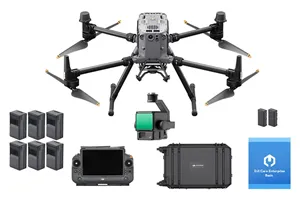
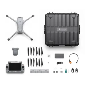
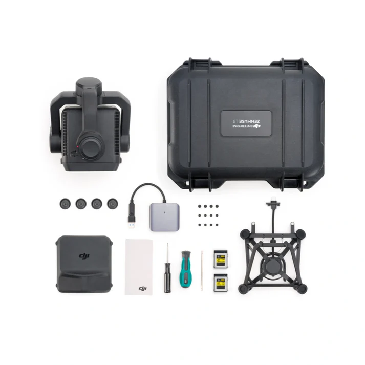
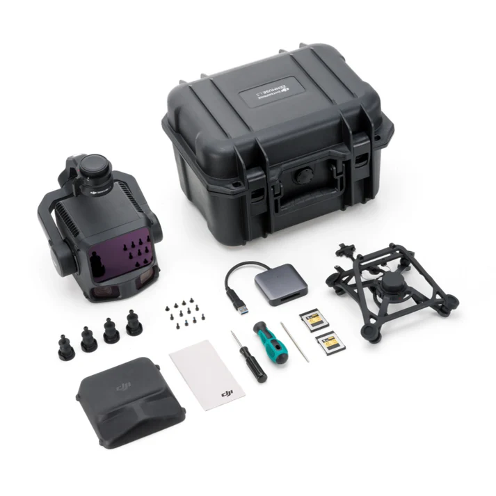
What’s in the box:
- 1× Zenmuse L3 payload
- 1× Zenmuse L3 single-port gimbal mount, including shock-absorbing ball set (L3-compatible only)
- 2× CF-Express Type B memory card (1 TB each)
- 1× CF-Express Type B card reader
- 1× Screw tool set
- 1× Storage box
- 1× Lens cloth
- 1× M400 transport box inner liner (for L3 fit)